
Episode #9: How Data from the Sky Transforms Planning
Good planning starts with good data—and drones are creating an entirely new layer of insight. In this episode, we reveal how drone-captured data is empowering city planners, architects, and developers with unprecedented visibility.
You’ll see how DroneOS6 supports aerial mapping, 3D modeling, and change detection at scale—enabling better decisions around zoning, land use, construction monitoring, and traffic optimization. We’ll also look at how Rangu integrates with leading GIS and BIM platforms to fit seamlessly into existing workflows.
If you work with spatial data or urban design, this session shows how aerial intelligence is becoming a core planning tool—not just a nice-to-have.
Add to calendar
Speakers
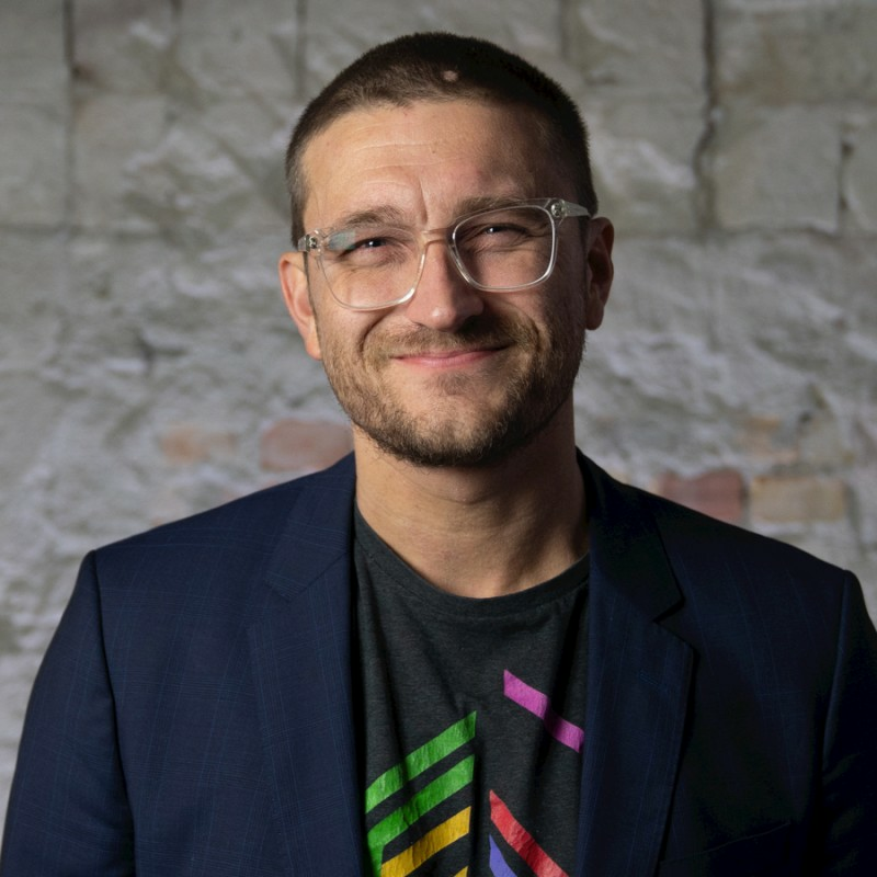
Steffen Fagerström Christensen
CTO & Co-founder, Rangu Inc
With over a decade of experience in aerospace engineering and AI integration, Steffen has been instrumental in pioneering innovations that are shaping the future of the drone industry. His visionary approach has propelled Rangu Drones to the forefront of the market, making it a leader in both commercial and recreational drone solutions. Steffen’s passion for technology and commitment to excellence continue to drive the company’s success.

Theis Nielsen
Host, Rangu Inc
As the host of the RanguOS6 Launch, Theis brings a deep understanding of client needs and a passion for connecting people with the latest in drone technology. His expertise in client relations and his enthusiasm for the industry make him the perfect guide for navigating the exciting innovations showcased at this year’s event.